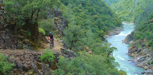
Green Valley Trail
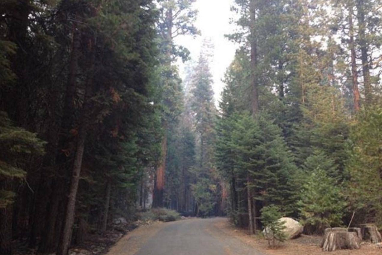
From Interstate 80, take the Foresthill exit to Foresthill Road and proceed 15.5 miles to the Foresthill Ranger Station
From Interstate 80, take the Foresthill exit to Foresthill Road and proceed 15.5 miles to the Foresthill Ranger Station. Continue 10 more miles to Sugar Pine Road (Forest Road 10). Follow it for 5 miles until you cross Sugar Pine Dam. One mile beyond the dam, turn right on to Elliot Ranch Road, which is the dirt road just past the paved road to the campground. Travel 3 miles to the signed trailhead and make a left. NOTE: The road is rocky and a high clearance vehicle is advised.
- Distance 2.62 miles each way
- Difficulty Difficult
- Website Green Valley Trail
- Best Feature Good fishing is available at times, and river access with limited camping is possible along the trail
- Hiking
- Biking
- Fishing

From Interstate 80, take the Foresthill exit to Foresthill Road and proceed 15.5 miles to the Foresthill Ranger Station. continue 10 more miles to Sugar Pine Road (Forest Road 10). Follow it for 5 miles until you cross Sugar Pine Dam. One mile beyond the dam, turn right onto Elliot Ranch Road, which is the dirt road just past the paved road to the campground. Travel 3 miles to the signed trailhead and make a left. NOTE: The road is rocky and a high clearance vehicle is advised.
ALSO CHECK OUT:
-
Miner’s Camp
Foresthill, CA24381 Foresthill Road, Foresthill, CA, USAOwn your piece of Gold Rush History and close by is the Auburn State Recreation Area offering many outdoor adventures.
-
Big Meadows Campground
Georgetown, CAWentworth Springs Road, Georgetown, CA 95634Tent camping, Camping trailer, Fee charged for some activities, Picnic tables, Toilets, Drinking water, Parking
-

Tahoe X-Country Ski Area
Tahoe City, CA925 Country Club Drive, Tahoe City, CA 96145For the day skier visiting the Tahoe area, Tahoe Cross Country offers an high quality recreation experience for all ability levels.


