Tahoe-Pyramid Trail
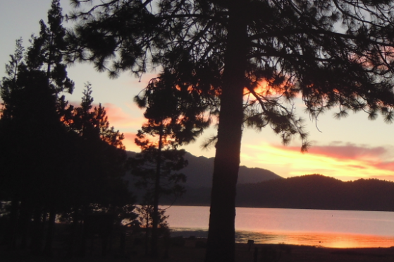
The Tahoe-Pyramid Trail is based on a vision for a trail that would follow the entire length of the Truckee River, from its source at forested Lake Tahoe (6225′) to the desert terminus of Pyramid Lake (3796′). The current route can be traveled by foot or by bicycle, and when fully completed, will descend over 2000 feet during the entire course of the 114-mile long trail, using a combination of existing dirt and paved roads, bike paths, historic roads, as well as many new sections of trails and bridges.
- Hours Dawn to dusk
- Address West Lake Boulevard, Tahoe City, CA 96145
- Phone 775-825-9868
- Website Tahoe-Pyramid Trail
- Best Feature Historic Roads
- Hiking
- Biking
- Parking

Located on the east side of the Truckee River.
ALSO CHECK OUT:
-

Peninsula Campground
Pilot Hill, CARattlesnake Bar Road, Pilot Hill, CA 95664The campground has 100 family campsites that will accommodate trailers up to 18 feet in length and motor homes up to 24 feet.
-
Lodgepole Campground
Emigrant Gap, CASix Mile Valley Road, Yuba Gap, CA 95715In summer, this campground has 214 sites for tents, RVs, and trailers. In fall and spring, there are 16 walk-in tent sites and a limited number of RV sites.
-

Woodcreek Golf Club
Roseville, CA5880 Woodcreek Oaks Boulevard, Roseville, CA 95747Woodcreek offers golfers of all skills levels a memorable golf experience as well as upscale amenities such as a Lighted Driving Range, Fully Stocked Golf Shop, Legends Sports Bar & Grill and Banquet Facilities.


