Tahoe-Pyramid Trail
The Tahoe-Pyramid Trail is based on a vision for a trail that would follow the entire length of the Truckee River, from its source at forested Lake Tahoe (6225′) to the desert terminus of Pyramid Lake (3796′). The current route can be traveled by foot or by bicycle, and when fully completed, will descend over 2000 feet during the entire course of the 114-mile long trail, using a combination of existing dirt and paved roads, bike paths, historic roads, as well as many new sections of trails and bridges.
- Hours Dawn to dusk
- Address West Lake Boulevard, Tahoe City, CA 96145
- Phone 775-825-9868
- Website Tahoe-Pyramid Trail
- Best Feature Historic Roads
- Hiking
- Biking
- Parking

Located on the east side of the Truckee River.
ALSO CHECK OUT:
-
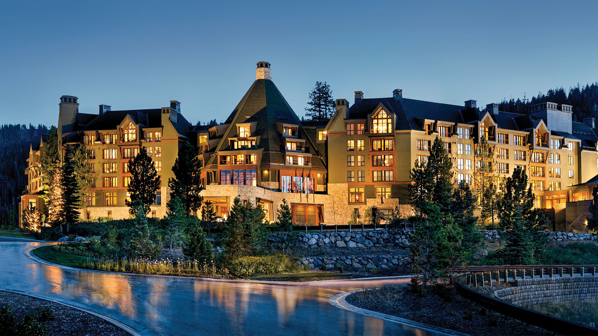
Northstar California
Truckee, CA5001 Northstar Drive, Truckee, CA 96161Those who come to Northstar know what they’re looking for. Sometimes it’s adventure, sometimes it’s to learn, sometimes it’s to relax in a welcoming place with family and friends. No matter what that experience is, they’ll find it to be exactly the way it should be.
-
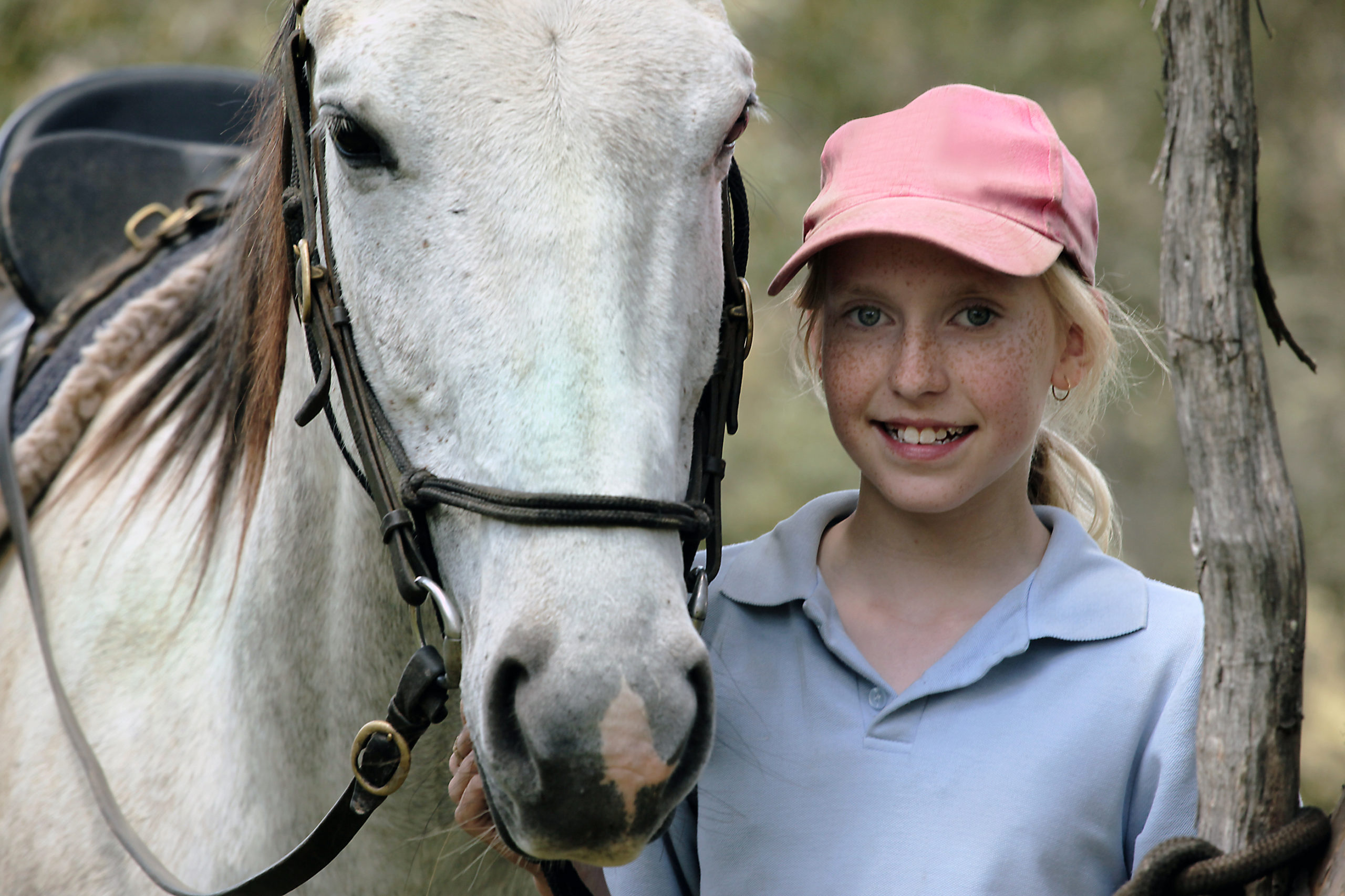
Tahoe Donner Equestrian Center
Truckee, CA15275 Alder Creek Road, Truckee, CA 96161Offers trail rides, pony rides, horse boarding, riding lessons, tack shop, Horsemanship Camps and BBQ Rides.
-
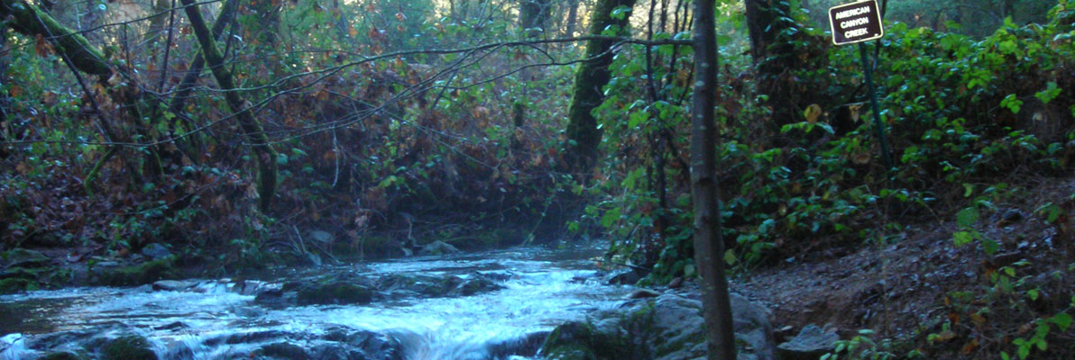
American Canyon Trail
Greenwood, CAGreenwood Road @ Pilgrim Court, Greenwood, CA 95635This steep trail has everything needed for a great day of exploration: rugged mountain canyons, a beautiful stream with waterfalls, a wide variety of plant and animal life, gold rush era history, and panoramic views of the Middle Fork American River.


