Quarry Road Trail
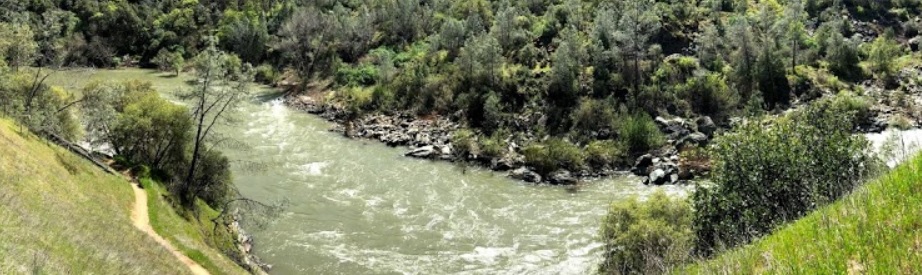
This wide, level trail can be used for a half-day walk and a pleasant picnic along the Middle Fork American River.
This wide, level trail can be used for a half-day walk and a pleasant picnic along the Middle Fork American River. It goes through some of the best scenery available in the American River Canyons, and picnic tables are provided along the first 1¼ miles of the trail. For those looking for a good workout, this trail is 11.2 miles round-trip. Several side trails are accessible that can be used to create even more challenging loops. There is little shade, however, so take plenty of water and sunscreen on hot summer days.
- Distance 5.6 miles
- Approx length of time 2¼ hours each way (hiking)
- Difficulty Easy
- Website Quarry Road Trail
- Best Feature The PG&E Road Trail offers fascinating views into the now abandoned quarry (hikers and bikers only)
- Hiking
- Biking
- Equestrian

Trailhead is 2 miles south of ASRA Park Headquarters. Take Hwy 49 south from Auburn, turn right across the American River towards Cool. Turn left on the small dirt road ¼ mile south of the river crossing. Trailhead is beyond the parking area at a green gate (#151).
ALSO CHECK OUT:
-

Tahoe Adventure Company
Tahoe Vista, CA7010 North Lake Boulevard, Tahoe Vista, CA 96148The Tahoe Adventure Company leads high quality adventure travel trips and tours with a focus on experiencing the natural beauty of the surrounding mountains, trails and brilliant waters of Lake Tahoe.
-
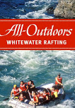
All Outdoors Whitewater Rafting
Lotus, CA1026 Lotus Rd, Lotus, CA 95651Invite your friends! California’s varied array of rivers ensures that any individual or group can find a trip that’s perfect for them.
-
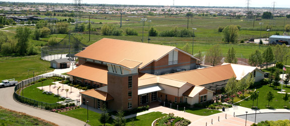
Mahany Fitness Center
Roseville, CA1545 Pleasant Grove Boulevard, Roseville, CA 95747The park site has several different athletic fields.


