Culvert Trail
This trail offers a short out and back excursion through rolling oak woodlands and open grasslands that are dotted with wildflowers in the spring.
This trail offers a short out and back excursion through rolling oak woodlands and open grasslands that are dotted with wildflowers in the spring. It is most frequently used to extend an outing or link with other trails. It is also the safest way to traverse the busy Foresthill Road to go from the North Fork American River to the Middle Fork American River side of the Foresthill Divide. Come and take a break from your busy life on this popular year ’round trail with gorgeous views of the large rolling grasslands.
- Distance 1 mile one way; ½ hour down, ¾ hour up (hiking). Add 1 mile (½ hour) from Trailhead North
- Approx length of time 1 ¾ hours
- Difficulty Moderate
- Website Culvert Trail
- Best Feature After traversing the culvert, the prettiest section of the trail is reached. The path soon opens up into large rolling grass lands dotted with majestic oaks and beautiful wildflowers in the spring.
- Hiking
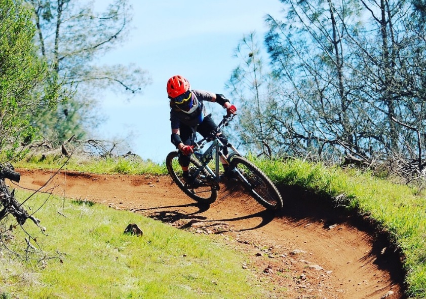
- Biking
- Beautiful Wildflowers

Trailhead North parking is on Foresthill Rd, ½ mile east of the Foresthill Bridge, at the large parking area on the left, just after the bridge. The trailhead to the Fuel Break Trail that accesses the upper [north] end of the Culvert Trail is behind the green gate [#114] at the end of the parking strip farthest from the Foresthill Bridge. There is very limited parking at the terminus of the Fuel Break Trail in a dirt turnout off the Lake Clementine Road next to the green gate [#146].
Trailhead South is on Old Foresthill Rd. From the Foresthill Bridge drive approx. 3 miles towards Foresthill. Turn right onto Old Foresthill Road at the sign for Cool, Placerville, and Hwy 49. Parking is on the left approx. 1½ miles from the turnoff in front of a bulletin board, just before the entrance to the Mammoth Bar OHV area. Trailhead is across the road from the parking area and bulletin board. This area may also be reached by driving approx. 1½ miles up the Old Foresthill Road from the confluence area.
ALSO CHECK OUT:
-

H2O Adventures
Lotus, CA6400 CA-49, Lotus, CA 95651From Whitewater beginner to adventure seeker, we’ve got the trip for you.
-

Donner Ski Ranch
Norden, CA19320 Donner Pass Road, Norden, CA 95724Among the oldest and most iconic ski areas in the Western U.S., Donner Ski Ranch is a family-friendly resort in the Lake Tahoe area that features a wide variety of terrain, inviting skiers and riders of all abilities to enjoy the fully-featured mountain oasis.


