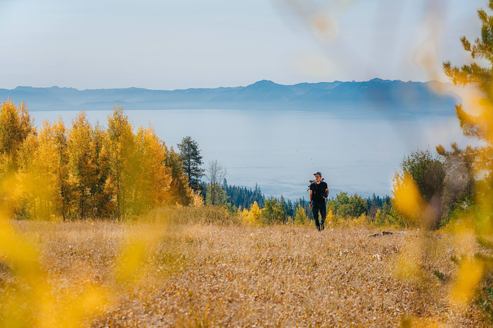
Segment of the Western States Trail (Michigan Bluff to Deadwood Trail)
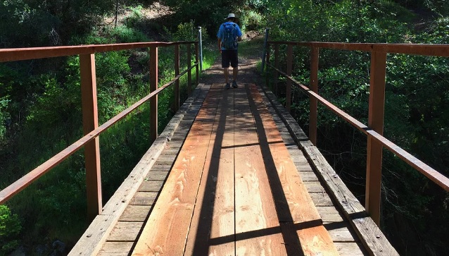
The trail drops off quickly into Eldorado Canyon and switchbacks down to the footbridge over Eldorado Creek.
The trail drops off quickly into Eldorado Canyon and switchbacks down to the footbridge over Eldorado Creek. Good camping and fishing are available here. Campfire permits are required for campfires, backpacking stoves, BBQs and lanterns. After crossing the West Branch of Eldorado Creek, the trail continues up the other side of the canyon offering some very scenic views of the rugged topography. The trail flattens out and eventually intersects the Deadwood Road near the old Deadwood Cemetery, which acts as the other trailhead for the trip. This hike can be made in a day by anyone in good physical shape or a more leisurely overnight trip.
- Distance 6 miles each way
- Difficulty Difficult
- Website Michigan Bluff to Deadwood Trail
- Best Feature Well available near Deadwood trailhead
- Hiking
- Camping
- Fishing

Directions to the Deadwood Trail Trailhead: From Interstate 80, take the Foresthill exit to Foresthill Road and proceed 15.5 miles to the Foresthill Ranger Station. Continue approximately 17 miles to Deadwood Ridge Road. Make a right on Deadwood Ridge Road which is a dirt road and not recommended for low clearance vehicles. Follow it to the Deadwood cemetery intersection and park in the pullout near the cemetery. The road degrades quickly.
ALSO CHECK OUT:
-
-
Green Valley Trail
Foresthill, CAElliot Ranch Road, Foresthill, CA 95631From Interstate 80, take the Foresthill exit to Foresthill Road and proceed 15.5 miles to the Foresthill Ranger Station
-
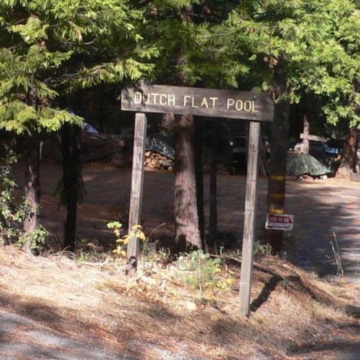
Dutch Flat Swimming Pool
Dutch Flat, CA1045 Mattell Drive, Dutch Flat, CA 95714Swimming Pool, picnic area, ball fields and courts.


