Grouse Falls Trail
The deep, rugged canyons of this area remind us of the hard work and remote life of the early miners who lived and worked in many of the drainages of the area.
The Grouse Falls Overlook trail is 0.5 miles long. It begins at Forest Road 33-26 and ends at a wooden deck overlooking the Grouse Falls cascade, which drops several hundred feet into Grouse Creek. The deep, rugged canyons of this area remind us of the hard work and remote life of the early miners who lived and worked in many of the drainages of the area.
- Distance .5 mile each way
- Difficulty Easy to moderate
- Website Grouse Falls Trail
- Best Feature Beautiful view of the Grouse Falls cascade.
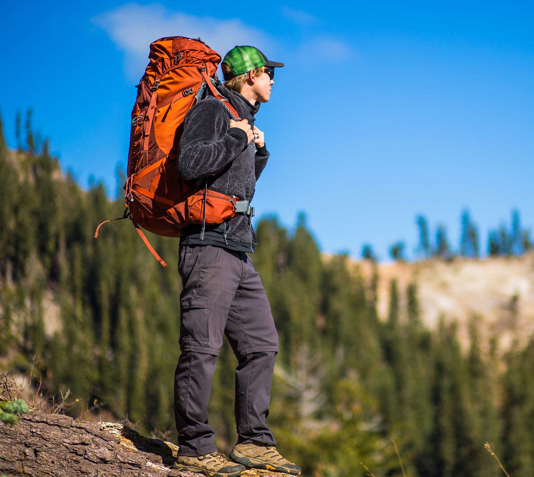
- Hiking
- Picnicking
- Waterfalls

From Interstate 80, take the Foresthill exit to Foresthill Rd and proceed 15.5 miles to the Foresthill Ranger Station. Continue 1.2 miles and turn right onto Mosquito Ridge Rd, following it 19¼ miles to the Peavine Rd intersection (Road 33), then drive almost 5 miles on this graveled road to the Grouse Falls turnoff. At the end of this short spur (note: road is not recommended for low vehicles) is a parking area where the trail begins.
ALSO CHECK OUT:
-
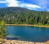
Sawmill Lake
Truckee, CA5001 Northstar Drive, Truckee, CA 96161Nestled in Northstar’s mountainside, Sawmill Lake is a private secluded 10-acre reservoir stocked with hundreds of bright, fighting rainbow trout.
-

Northstar California Golf Course
Truckee, CA168 Basque Drive, Truckee, CA 96161Designed by Robert Muir Graves, Northstar California’s 18-hole, par-72 golf course incorporates Tahoe’s mountainous landscapes with Martis Valley’s open meadow into two distinct 9-hole settings that will both challenge a golfer’s skills and appeal to his and her senses.
-
Mosquito Ridge Trail
Foresthill, CAMosquito Ridge Road, Foresthill, CA 95631This trail is very steep in places with many switchbacks, as it winds its way down to the Middle Fork of the American River.


