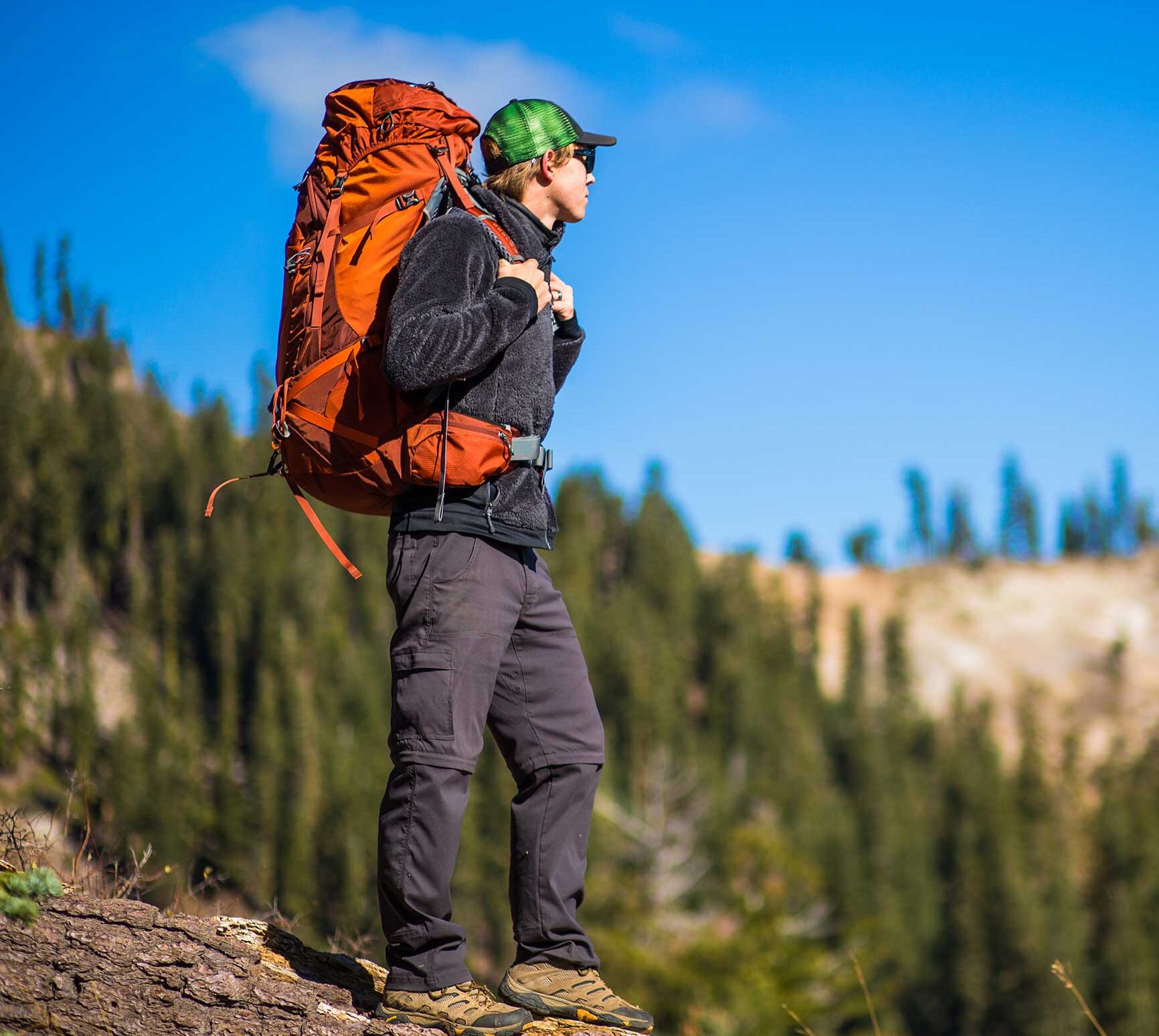
Grouse Falls Trail
The deep, rugged canyons of this area remind us of the hard work and remote life of the early miners who lived and worked in many of the drainages of the area.
The Grouse Falls Overlook trail is 0.5 miles long. It begins at Forest Road 33-26 and ends at a wooden deck overlooking the Grouse Falls cascade, which drops several hundred feet into Grouse Creek. The deep, rugged canyons of this area remind us of the hard work and remote life of the early miners who lived and worked in many of the drainages of the area.
- Distance .5 mile each way
- Difficulty Easy to moderate
- Website Grouse Falls Trail
- Best Feature Beautiful view of the Grouse Falls cascade.
- Hiking
- Picnicking
- Waterfalls

From Interstate 80, take the Foresthill exit to Foresthill Rd and proceed 15.5 miles to the Foresthill Ranger Station. Continue 1.2 miles and turn right onto Mosquito Ridge Rd, following it 19¼ miles to the Peavine Rd intersection (Road 33), then drive almost 5 miles on this graveled road to the Grouse Falls turnoff. At the end of this short spur (note: road is not recommended for low vehicles) is a parking area where the trail begins.
ALSO CHECK OUT:
-
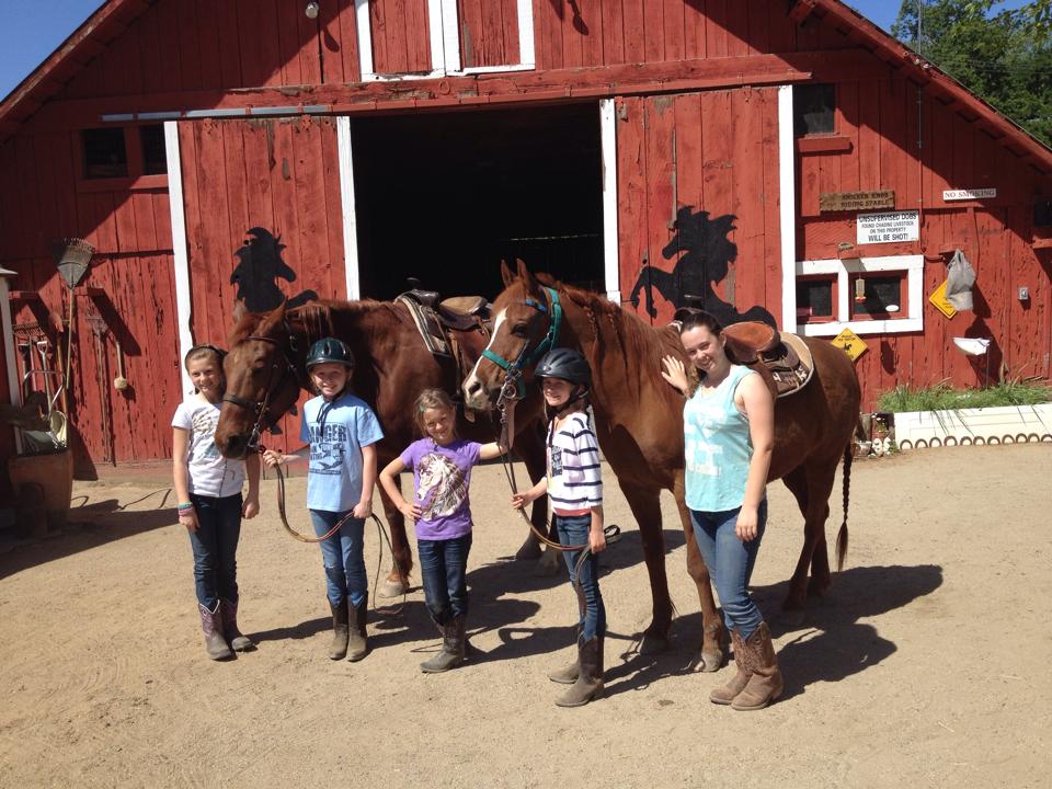
Knicker Knob Stable
Loomis, CA9069 Pioneer Lane, Loomis, CA 95650Knicker Knob Stables offer boarding, training, and lessons from our knowledgeable and helpful staff.
-
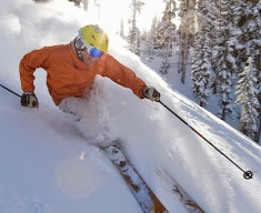
Palisades Tahoe Alpine Meadows
Olympic Valley, CA1960 Olympic Valley Road, Olympic Valley, CA 96146, USAWith an annual average of 450 inches of snowfall and 300 sunny days, Palisades Tahoe is the perfect place to spend the weekend on the slopes.
-
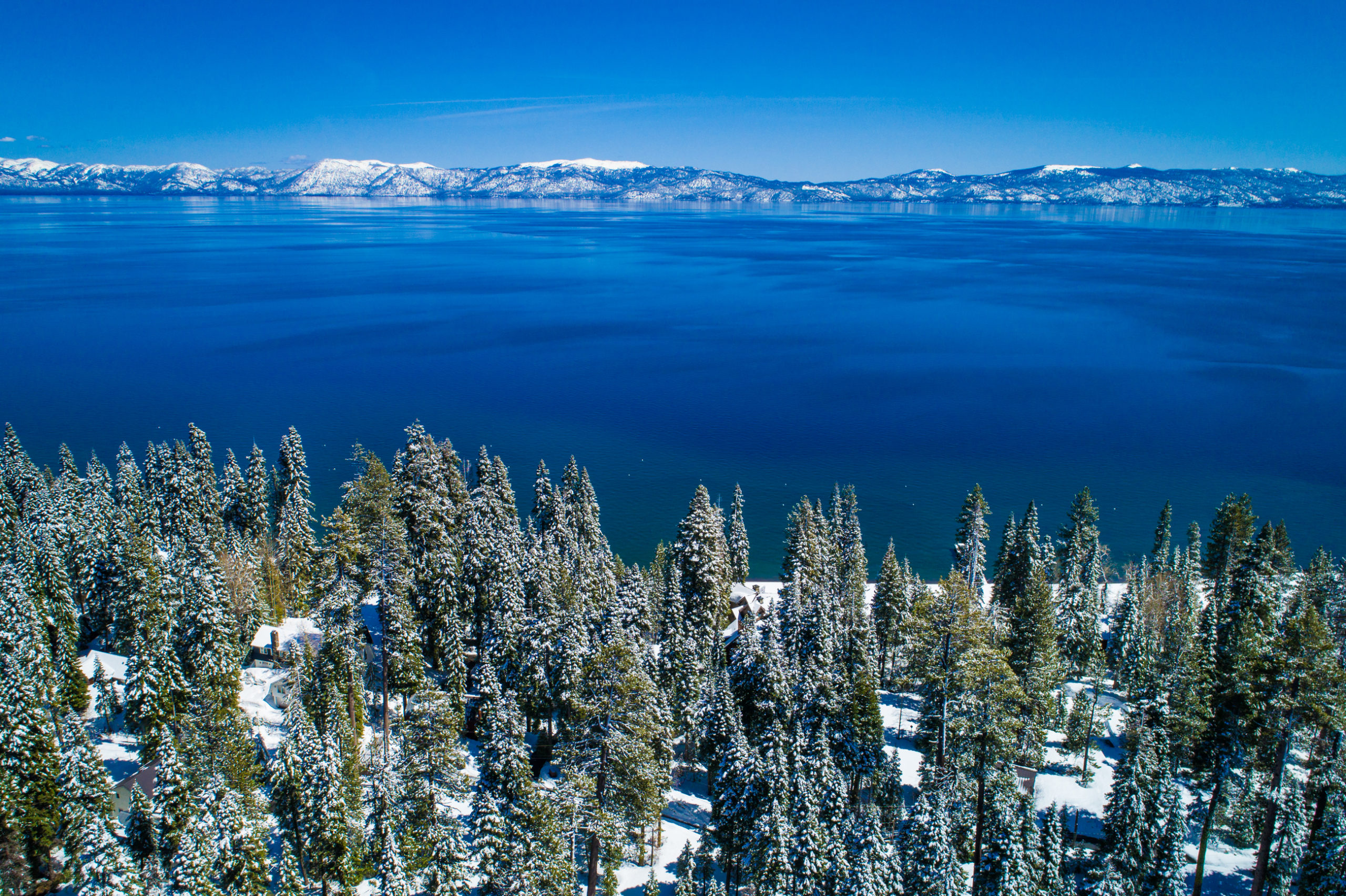
Lake Tahoe
Tahoe City, CALake Tahoe, CA 96150Lake Tahoe is the largest and most beautiful alpine lake in North America.


