Mosquito Ridge Trail
This trail is very steep in places with many switchbacks, as it winds its way down to the Middle Fork of the American River.
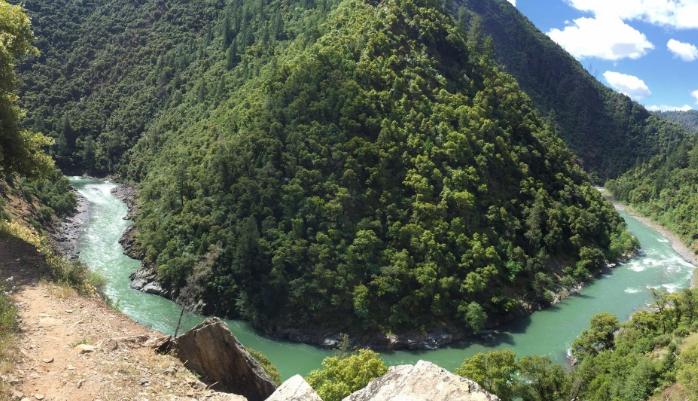
This trail is very steep in places with many switchbacks, as it winds its way down to the Middle Fork of the American River. About halfway down across the canyon, there is a pretty cascade of water coming down the canyon wall. The river has good fishing at times, and there are adequate campsites on the large gravel bars along the river. Fire permits are required for campfires, backpacking stoves, BBQs and lanterns. Because this is a southerly exposure, the trail can be hot during a warm day, and is a pleasant hike during the spring and fall. Poison Oak is present, especially at the beginning of the trail.
- Distance 1 mile each way
- Difficulty Difficult
- Website Mosquito Ridge Trail
- Best Feature About halfway down across the canyon, there is a pretty cascade of water coming down the canyon wall
- Hiking
- Biking
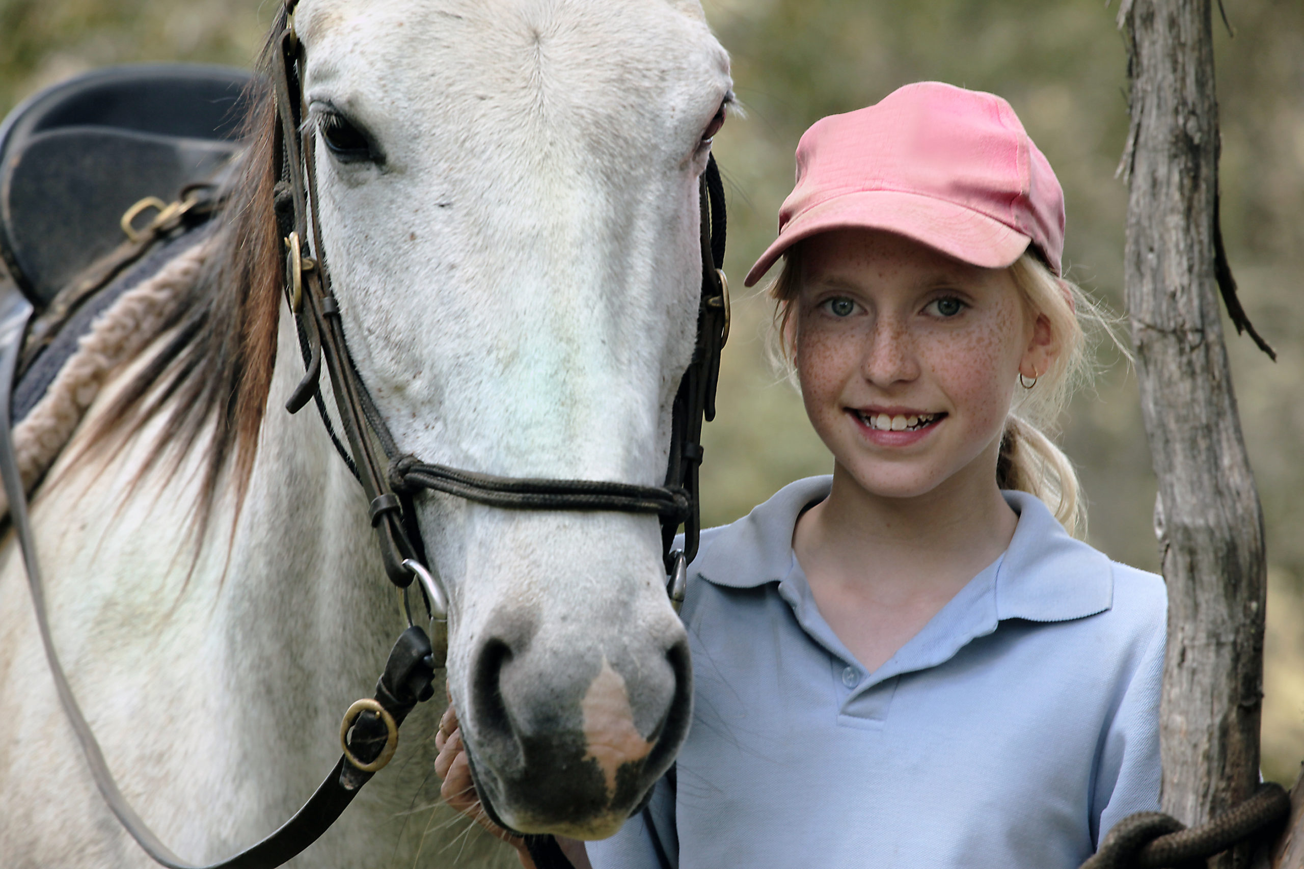
- Equestrian

From Interstate 80, take the Foresthill exit to Foresthill Road and proceed 15.5 miles to the Foresthill Ranger Station. Continue 1.2 miles and turn right onto Mosquito Ridge Road. Travel approximately 12.4 miles to the trail sign on the right. Park on the left side of the road in the turnout and then cross the road to begin the trail.
ALSO CHECK OUT:
-
Tahoe Donner Equestrian Center
Truckee, CA15275 Alder Creek Road, Truckee, CA 96161Offers trail rides, pony rides, horse boarding, riding lessons, tack shop, Horsemanship Camps and BBQ Rides.
-

Triple Crown Equestrian Center
Lincoln, CA3033 Gladding Road, Lincoln, CA 95648A quality facility located in Lincoln, Ca., offering expert cutting horse training, western timed events, and local practice opportunities.
-
Lake Forest Boat Ramp & Campground
Tahoe City, CA2500 Lake Forest Road, Tahoe City, CA 96145Campsites are available on a first-come first-serve basis and located just a few blocks away from the Lake Forest Beach.


