Don’t expect one day to be like another in distinctive Placer County.
Feel the fascination and experience the adventure within Placer’s 1400 square miles of the most beautifully diverse geography in Northern California. Placer County is a continent within a county because of its range of landscape, history, and activities. A Northern California jewel, stretching for a hundred miles, Placer County sits 132 miles northeast of San Francisco and 100 miles west of Reno.
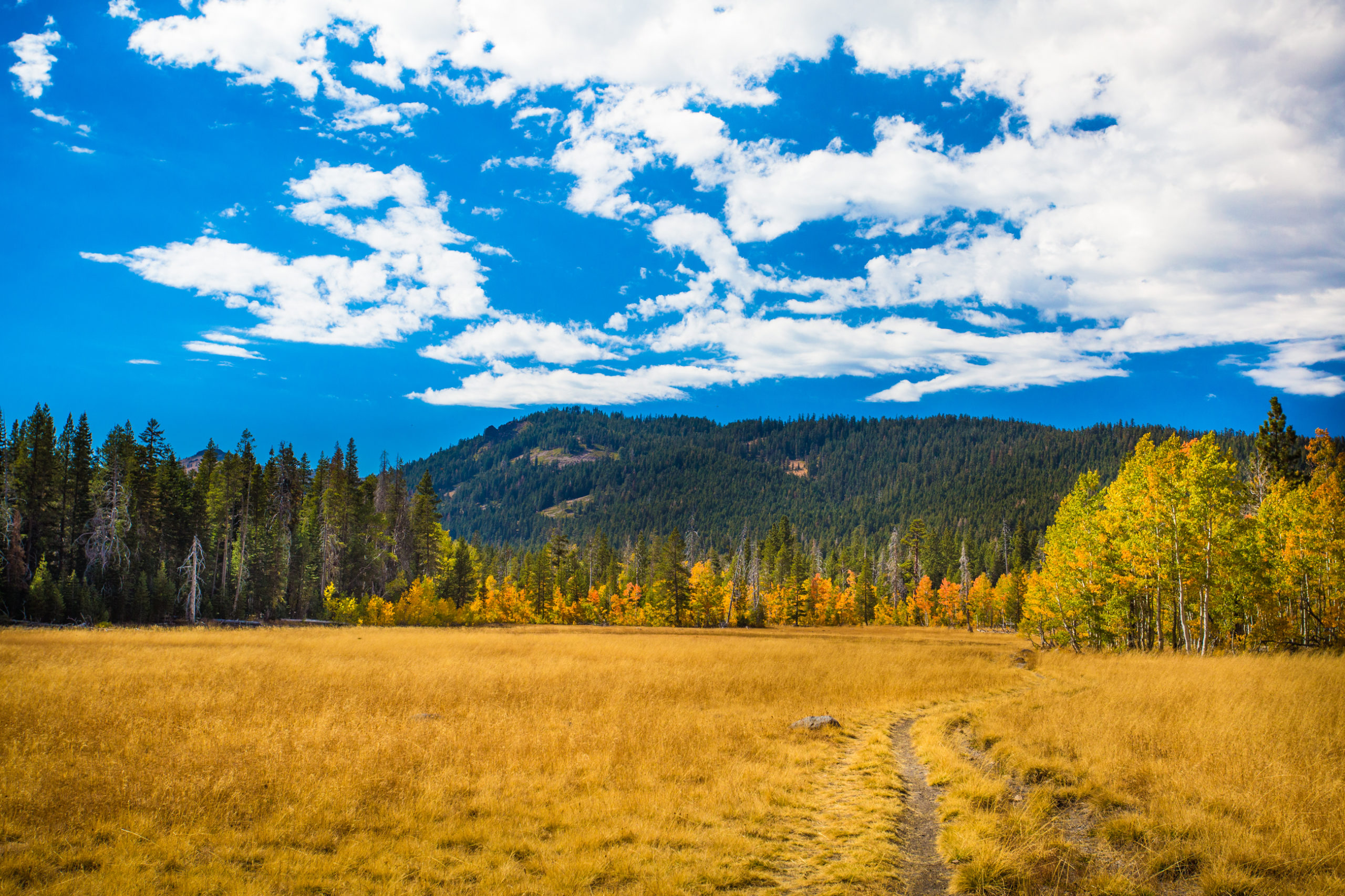
Within its borders, picturesque farm land and Gold-Rush era towns dot the oak-covered foothills. Craggy peaks, forests, tumbling rivers and clear alpine lakes create the natural beauty of the High Country. In Placer County you can hike among pine trees, raft the glorious rivers, mountain bike in the endurance capital of the world and then picnic under live oaks with a bottle of Mediterranean style wine, all in one day.
Outdoor enthusiasts revel at the county’s abundance of year-round recreational activities. Culture seekers marvel at the array of artisans, galleries and events. Wine connoisseurs, craft beer aficionados, foodies, shoppers, and history buffs all delight in the bounty of Placer County.
Whether you come for lunch or a lifetime, we invite you to visit, discover, and savor Placer County.
Please click below to learn more from our regional partners: