Placer County, reaching from the Lush Valley, to the Historically Rich Gold Country, all the way to the Majestic High Sierras.
At the California Welcome Center in historic downtown Auburn we offer local knowledge and a variety of tourist information and maps to help you make the most of your Placer County visit. Our gift shop is stocked with local and California souvenir items and gifts.
If it’s a leisurely pace you desire, sip wine at an award-winning winery in the central county communities of Auburn, Lincoln, Newcastle and Loomis, tee up at one of the many pristine golf courses, or sail the emerald waters of North Lake Tahoe. And finally, if you’re a history buff, Placer County is rich with museums and historic sites.
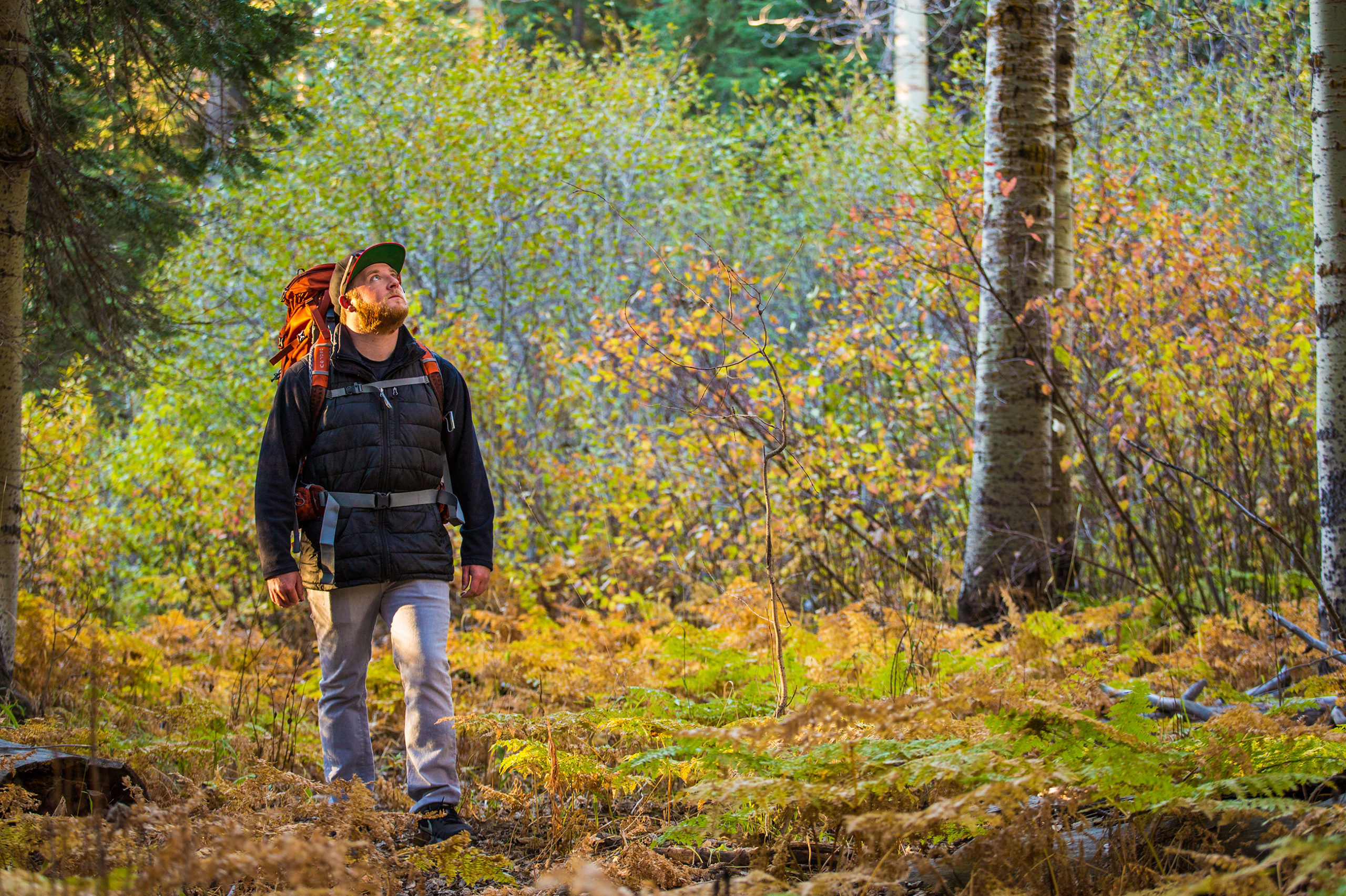
Allow the past to catch up with you as you visit our many antique shops and unique museums. Take a drive through our rich agricultural lands. Feel pride in our heritage as you attend one of our fine festivals. Seek the quiet serenity of nature on one of our many wilderness peaks, or the thrill of a lifetime as you ski down the slopes of Lake Tahoe.
Each day in Placer County brings a new adventure.
Our goal is to help you choose today’s adventure.
Hours:
Monday-Friday 9:30 am – 4:30 pm; Saturday-Sunday 9:30 am – 3:30 pm
1103 High St., Auburn, CA 95603
Phone: 530 887-2111
Toll Free: 866 752-2371
Fax: 530 887-2134
Email: [email protected]